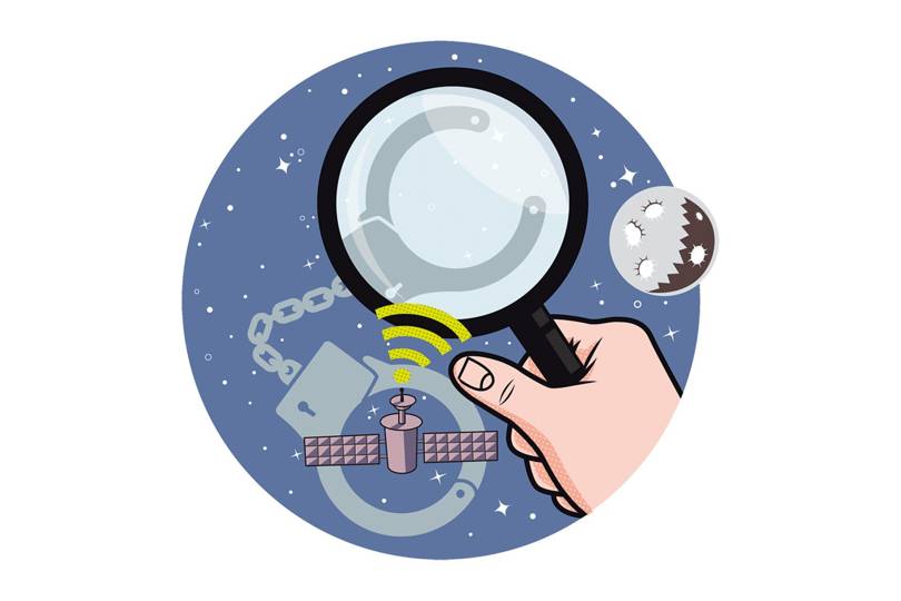
 Ray Purdy and Ray Harris use satellite imagery to assist criminal investigations. Since launching their Air & Space Evidence agency in the UK last year, the specialists in law and Earth observation have worked on 30 enquiries, including cases in Mexico, Nigeria and Chile, ranging from murders to planning disputes; seven have turned into full-scale investigations.
Source: Satellite imagery is being used to solve crimes | WIRED UK
